The GEOL_BIM project combines knowledge for safe construction
Building Information Modeling BIM is the future of digital construction. BIM is changing the planning and work processes and requires a large amount of quality information from a wide variety of sectors to ensure successful implementation. The challenges of Big Data extending even beyond the geology scene are met in BIM.
01.04.2020 | CHGEOL
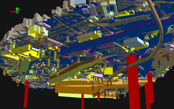
Within the scope of the innovation project GEOL_BIM, spatial geological data (3D models, GIS world) will be supplemented with detailed building information (BIM world) in digital construction. Innosuisse, the Swiss agency for the promotion of knowledge-based innovation projects for the benefit of the economy and society, approved the application for the funding of the GEOL_BIM project in December 2019. The project was launched at the beginning of March 2020 and will be completed by spring 2022. The Swiss Geological Survey at swisstopo and the University of Applied Sciences and Arts Northwestern Switzerland FHNW, under the direction of the Swiss Association of Geologists CHGEOL, are responsible for carrying out the project.
Notable federal offices, organisations and companies are involved in the GEOL_BIM project. Together with ASTRA, CSD Ingenieure AG, Geoformer AG, GEOTEST, GeoMod, Geotechnik Schweiz, Jäckli Geologie, Lombardi AG, nagra, SBB, Schenker Richter Graf and the Prevention Foundation of the Cantonal Building Insurance, qualified experts are working on the GEOL_BIM project and contribute with their use cases to ensure that the solutions developed will also be suitable for practical use.
The project encompasses the following individual steps:
- Standardisation of the collection of geological data
- Provision of a conceptual model for the data transfer of geological information in BIM
- Development of interface and software tools for the exchange of geological information with BIM
- Structuring of geological information from practice-oriented projects and the application, improvement and validation of interfaces and software tools together with BIM
- Establishment of continuing education and training concepts
The aim of the project is to import a geological 3D model into BIM software and to create geological cross-sections with prediction accuracy indications at any given point. The results will be tested by means of use cases from practical experience and cover the following applications:
- The basic function mentioned above allows, for example, the elaboration of various alignments, the quantity determination for the management of material to be excavated and the planning of additional investigations to improve the prediction quality.
- Likewise, soil properties are to be transferred to the BIM software. This enables their direct use for the modelling and dimensioning of foundations and excavation support systems.
- Finally, the transfer of information on hazards and intensities from gravitational processes into the BIM software supports the planning of protective structures in the vicinity of the object. For the operational phase of construction, measurement results from the monitoring of permanent landslides should be made available in the BIM in order to plan preventive maintenance work. In addition, feedback from any mass movements in the operating phase should be able to enhance the geological model, so that an up-to-date geological 3D model remains available.
After completion in 2022, GEOL_BIM is to be applied as widely as possible. CHGEOL will offer practical training in using GEOL_BIM. Enhancements will be made gradually, so that the predicted economic benefits can be achieved by 2030. These are estimated at around 250 million Swiss francs.
For questions please contact the Project Manager, Dr. Johannes Graf, Swiss Association of Geologists CHGEOL (johannes.graf@chgeol.ch).
